Brandelhow
Distance
2 miles
Parking
Lay-by parking available: the parking is marked on Google maps as Brandelhow Park Bus Stop, Route 77.
Why we love this walk
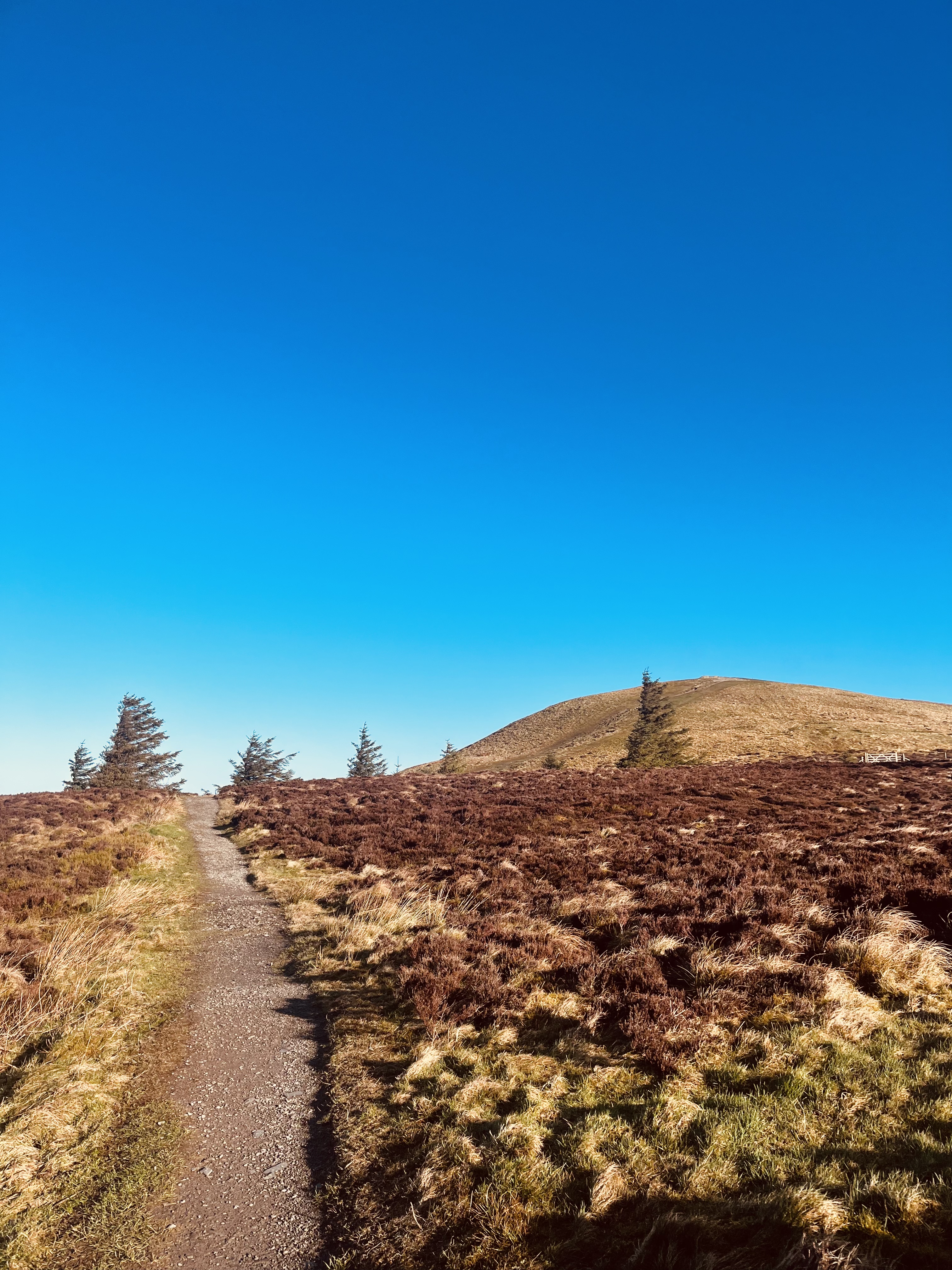
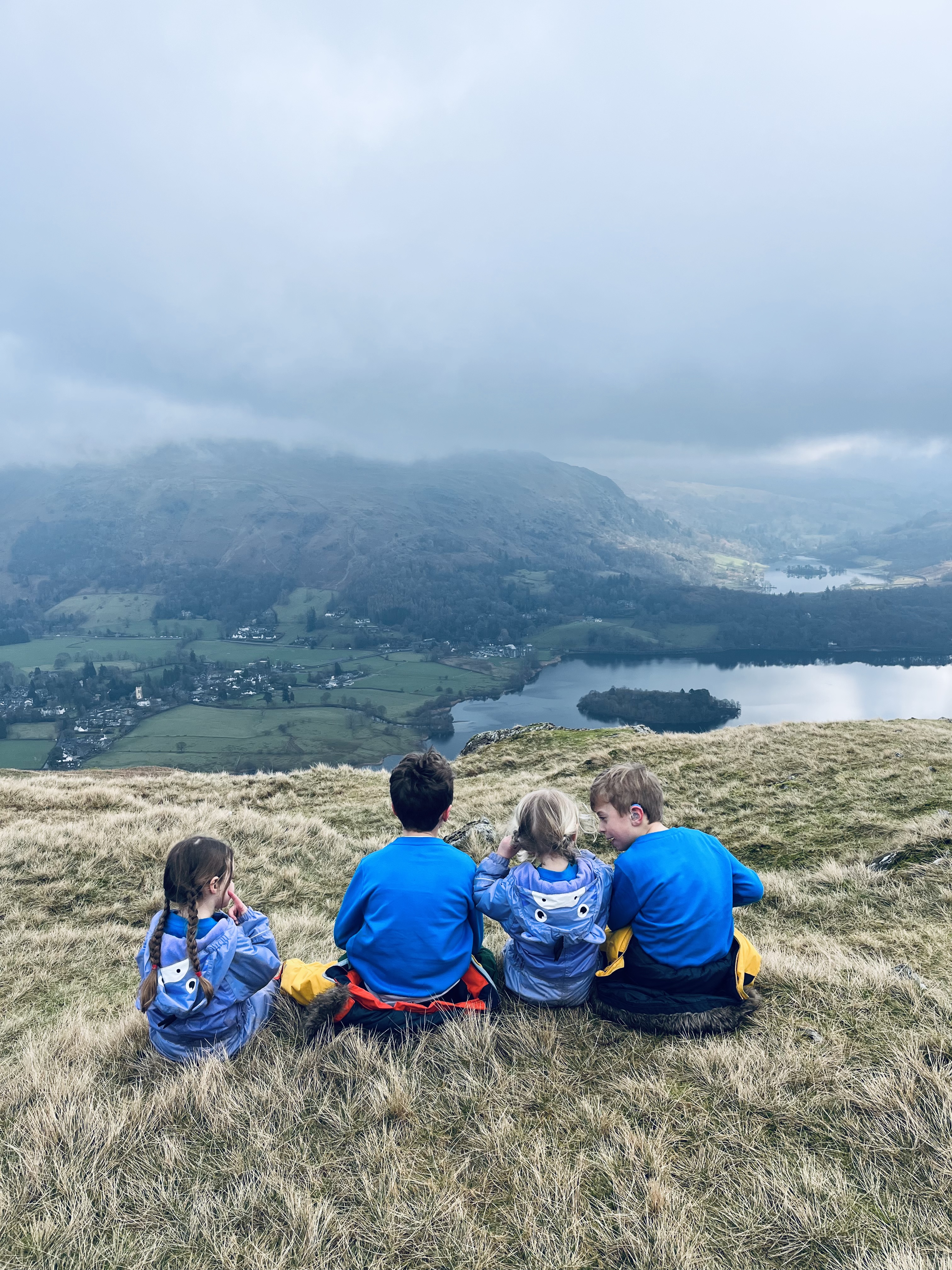
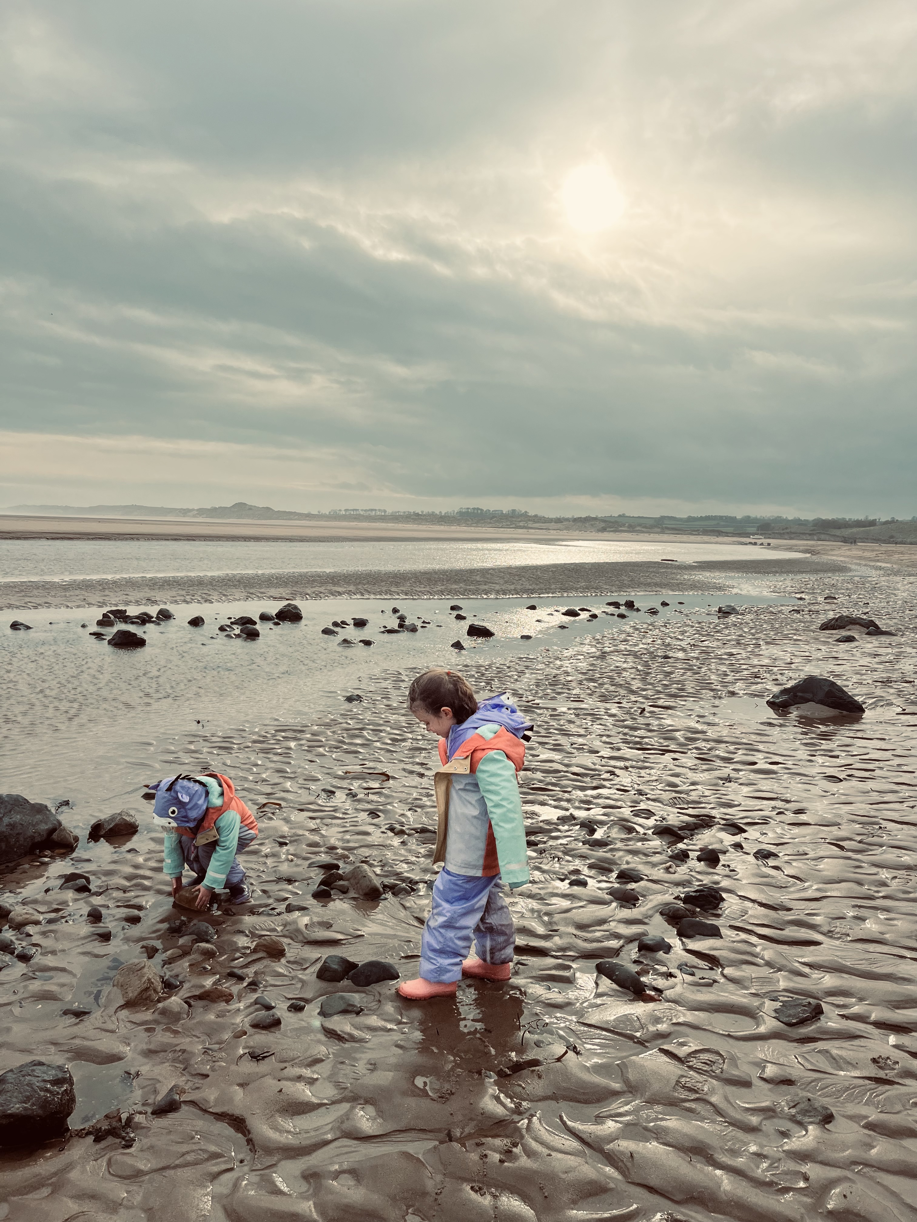
Brandelhow Park can be found on the West side of Derwentwater. This easy, low level lakeside amble along the quieter side of Derwentwater leads you through some beautiful woodland and down to the shoreline of Derwentwater. Brandelhow is the birthplace of the National Trust in the Lake District and this 2 mile walk is perfect for all ages – with some great hidden places to paddle too!
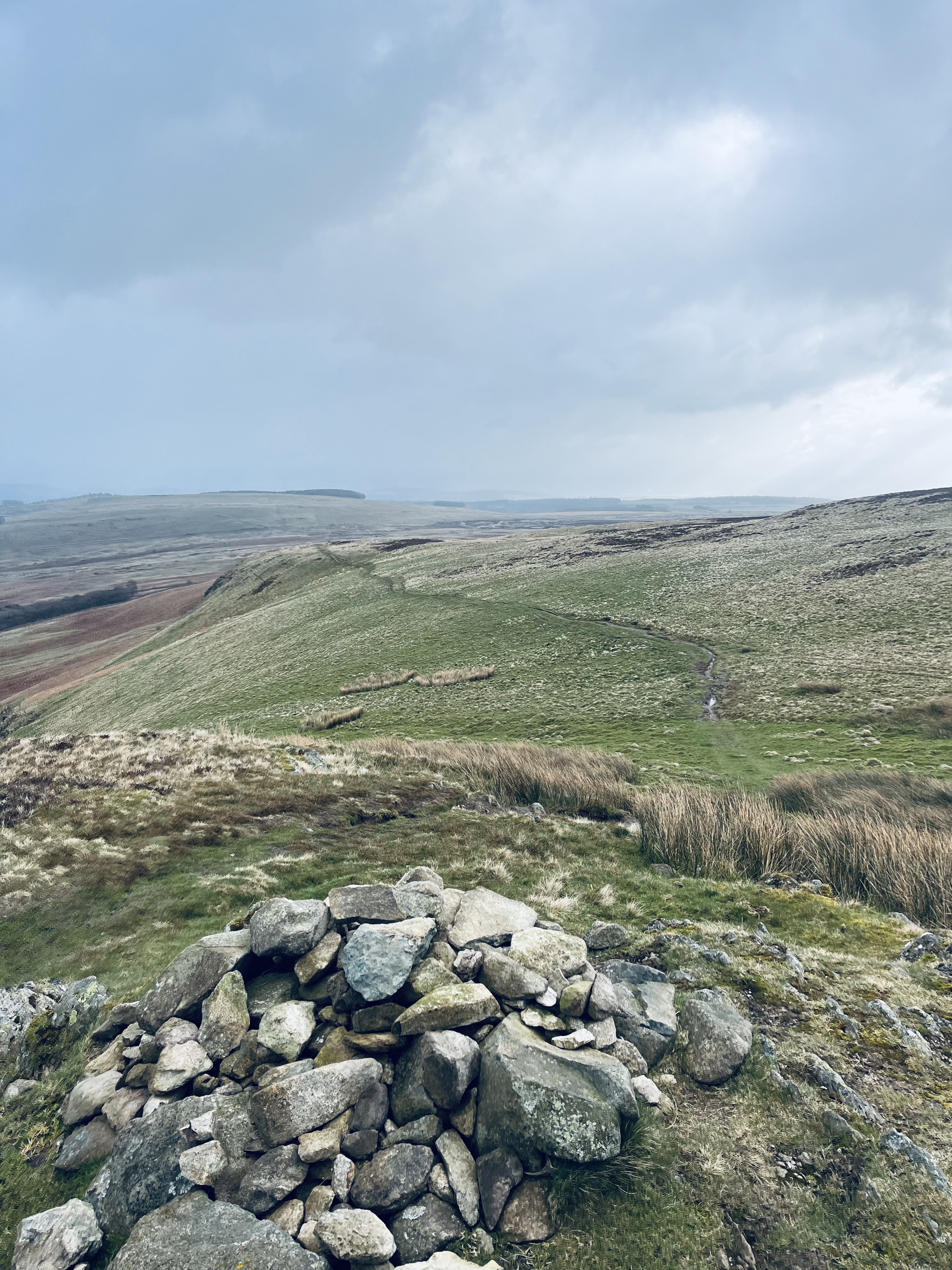
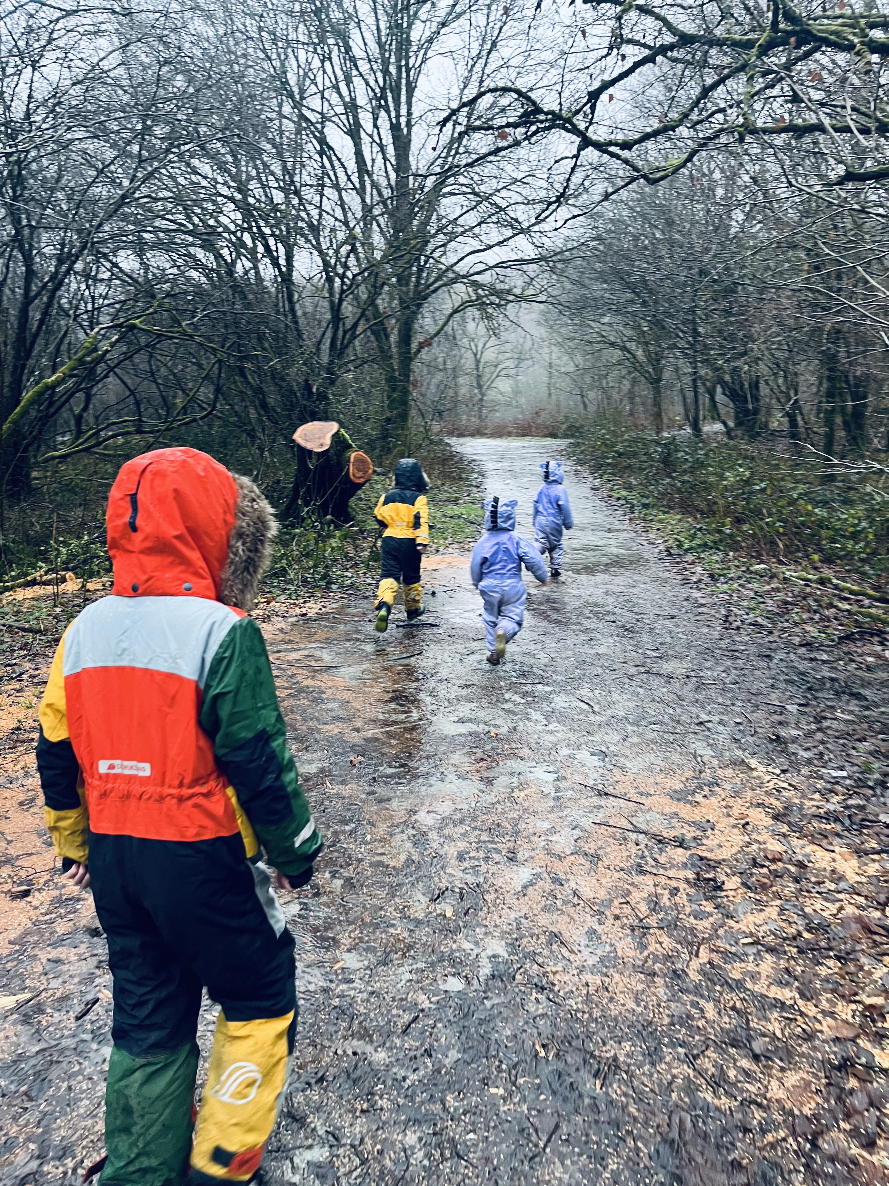
This loop is also great on a rainy day, the trees offer shelter from the elements and the short distance allows it to be accessible for those little legs of the family. A wonderful, easy and short walk that has the added bonus of being close to the lakeshore and offering breathtaking views of the surrounding fells.


The route:
*to access a map of this route please see the Strava link at the bottom of the page*
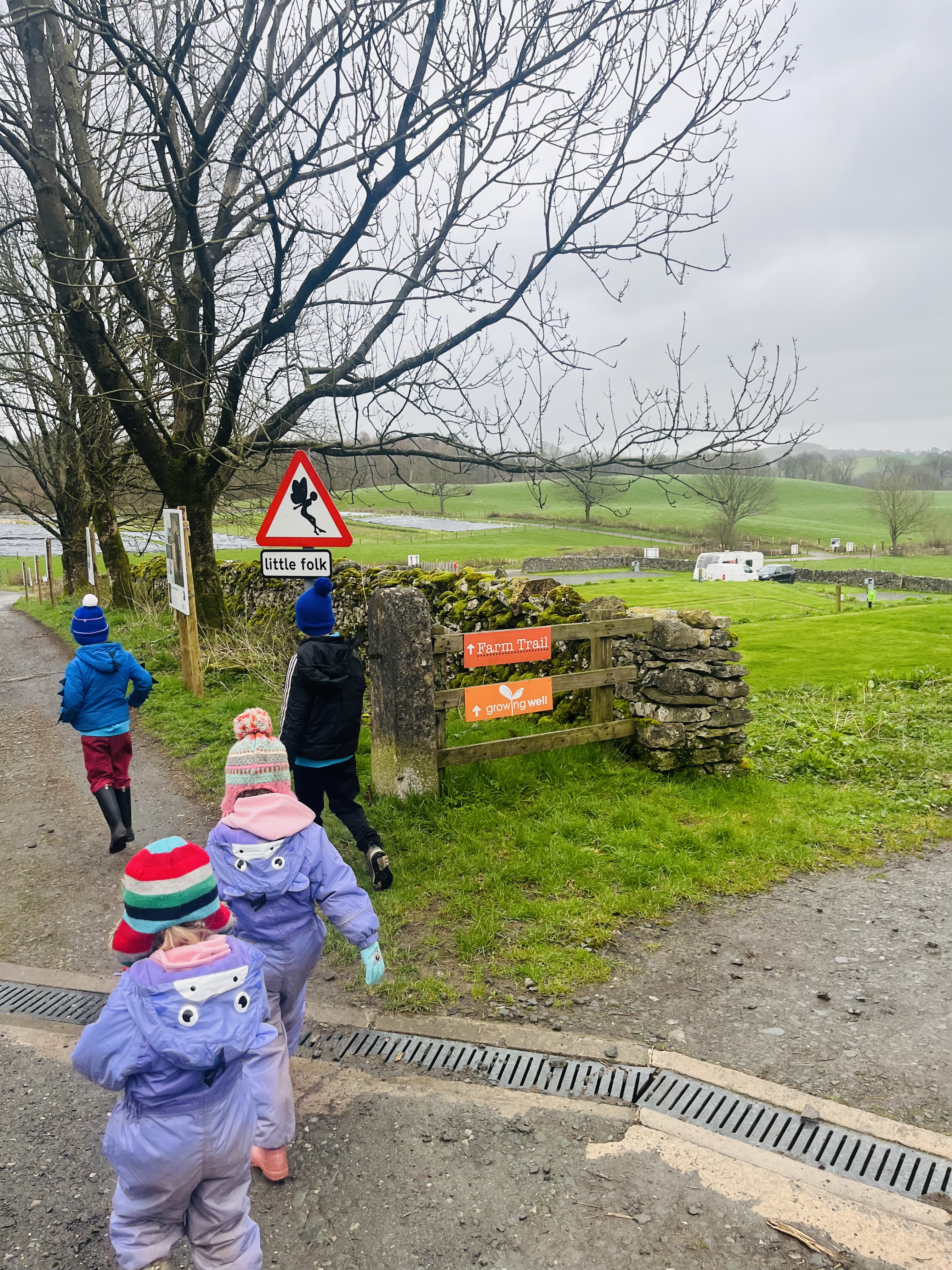
There are many different routes you can take to explore this side of Derwentwater, on this occasion we found lay-by parking between Portinscale and Grange. Drive through Portinscale and head towards Hawes End, follow the signs for Grange and you will soon approach the gate at which this walk begins (photo 1), the lay-by parking is directly next to this gate (photo 2). The parking is marked on google maps as Brandelhow Park Bus Stop, Route 77.
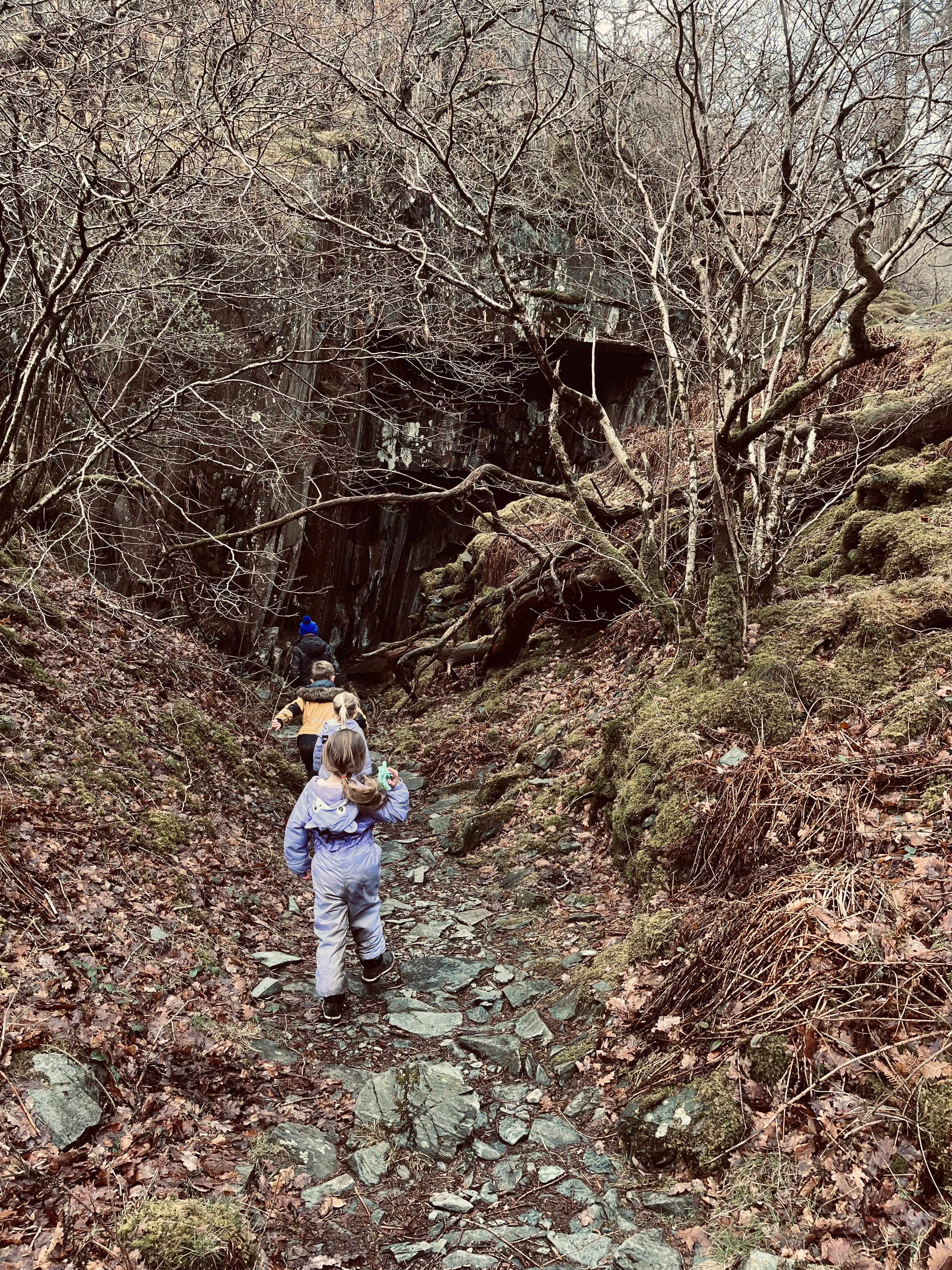
To begin your walk you head through a kissing gate, you will see a National Trust sign on the gate (photo 3), this will help to reassure you that you are in the right place. There are a number of walks you can choose from in this woodland but today we chose to complete a 2 mile circular route, this particular walk is ideal for families with children of all ages. The path is well maintained and easy to follow. Having gone through the gate, follow the path and you shall begin your descent down towards the lakeside. You will soon come to a crossroads in the path, carry straight on down to the lakeshore and your will arrive at Derwentwater. We visited here on beautifully sunny, but cold, day and we look forward to returning in the summer months to enjoy a picnic and paddle.
Once you reach the lakeside you could, like we did, take a left, keeping Derwentwater on your right, and head towards Victoria Bay. We did this as the children were keen to see the wooden hands sculpture (photo 4), having had a little play we turned back on ourselves and walked towards High Brandelhow. Derwentwater will now be on your left hand side, we continued along the lakeside path until we reached Brandelhow Bay. Please note you could reach this side of Derwentwater via boat, The Launch, and get off at various jetty’s alongside this shore line. However, Storm Desmond damaged High Brandelhow jetty so do make sure you check which routes are running before you set off.
If, like us, you parked your car on the road side it is here where you take the sharp right path (photo 7) up the hill, into the woods and back to the car. Don’t forget to take a left this time when you reach the crossroads in the woods.


Nearby walk ideas:
This walk could easily be paired with many of the longer walks we have reviewed on this site.
During the summer months why not head up Catbells and end your walk with a little paddle in a secluded area of Brandelhow Bay? Or you could let older members of your party head up Catbells while the little legs of the family enjoy a play by the lake shore and later meet up all together for a picnic by Brandelhow Bay.
Please click on the links below to be taken to some of the surrounding walks in this area:


Leave A Comment